First Alert Forecast: When to expect showers and storms in the Midstate as heat increases
Heat indices soar to 100° plus.
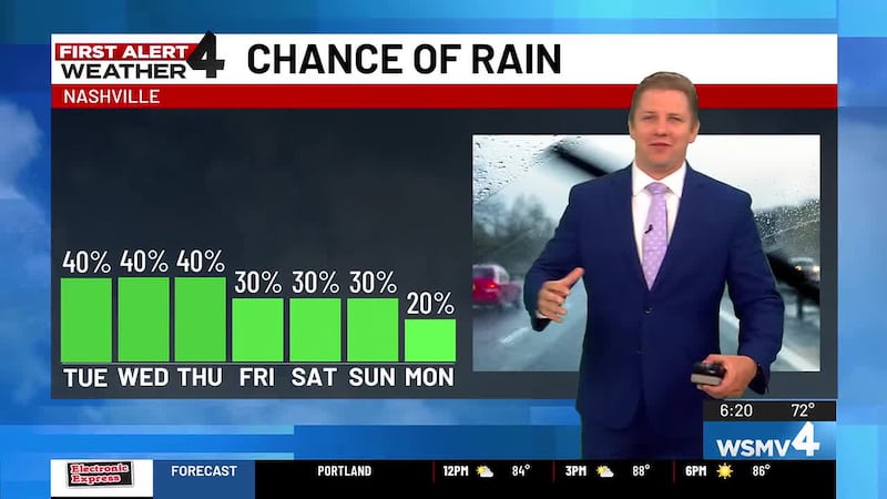
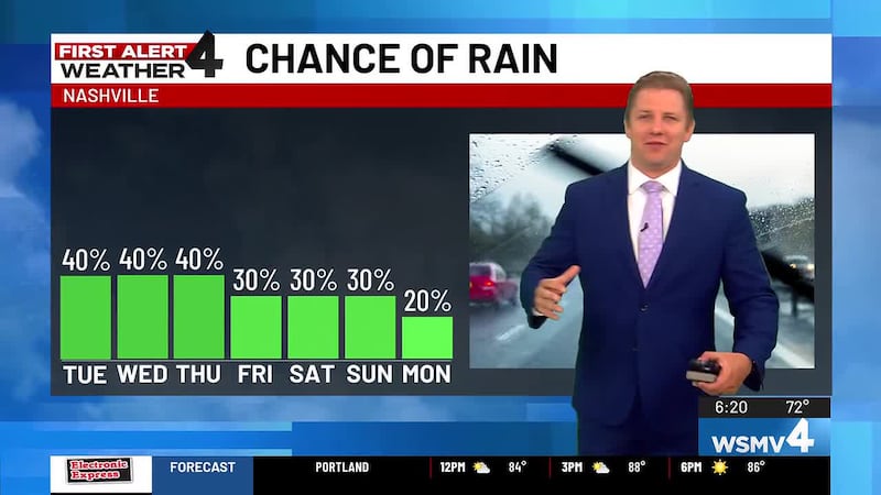
NASHVILLE, Tenn. (WSMV) - More scattered showers and a few thunderstorms the next few days. Hot summer temperatures are returning this week across Middle Tennessee and southern Kentucky.
NEXT 24 HOURS
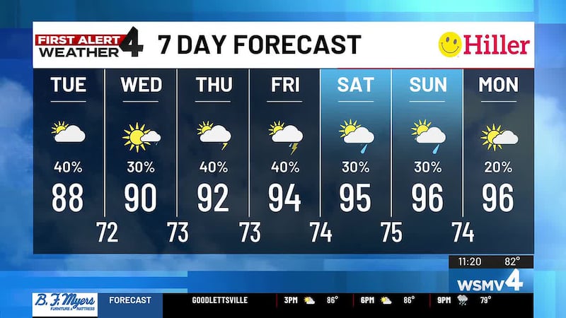
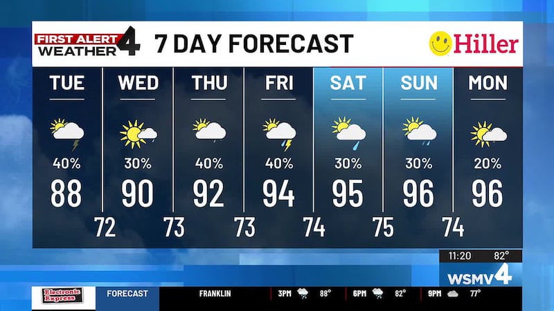
More hit-and-miss showers and storms develop this afternoon once again. Highs will reach the upper-80s. Rain tapers off in the evening and overnight, with lows in the 70s.
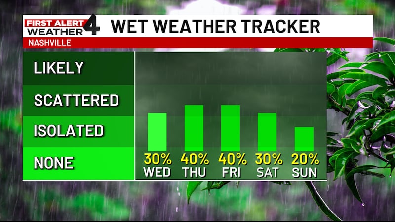
Tomorrow, there will still be a few showers and thunderstorms with a high near 90.
For life-saving weather alerts, customized messages on conditions and forecasts, and videos detailing upcoming weather events, download the WSMV 4 First Alert Weather app for iPhone or Android.
TODAY’S FORECAST
- Evening-Rain diminishes, still warm and muggy.
WEDNESDAY’S FORECAST
- Morning-Partly cloudy and dry, low 72
- Afternoon-Partly sunny with isolated showers in the afternoon. High near 90.
- Evening-Rain diminishes, still warm and sticky.
THURSDAY’S FORECAST
- Morning-Partly cloudy and dry, low 73
- Afternoon-Partly sunny with scattered showers in the afternoon. High near 90.
- Evening-Rain ends at sunset, still warm and muggy.
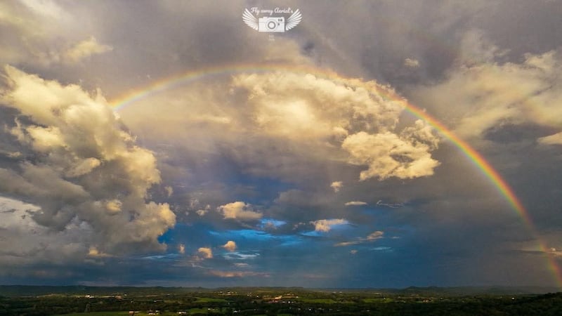
Have weather pictures or videos? Share them here.
WEEKEND FORECAST
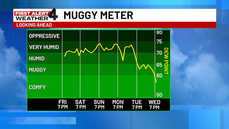
More heat and humidity are expected this weekend, with highs in the mid-90s Friday, Saturday and Sunday afternoon. Heat index will once again top 100° both days. An isolated shower is possible each day afternoon, but most of us will stay dry.
NEXT WEEK
More heat and humidity with an isolated thundershower possible. Monday’s high will be in the mid-90s.