First Alert Forecast: Isolated showers and storms join heat, high humidity in Middle Tennessee
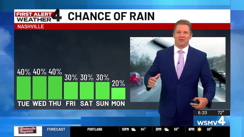
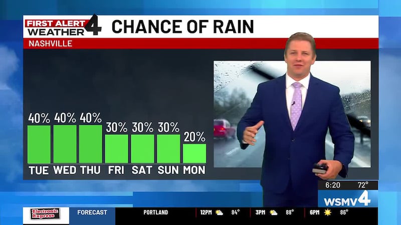
Brief downpours remain possible during the afternoons and evenings of this week.
NASHVILLE, Tenn. (WSMV) - Hotter weather will develop by the weekend.
THE NEXT 24 HOURS
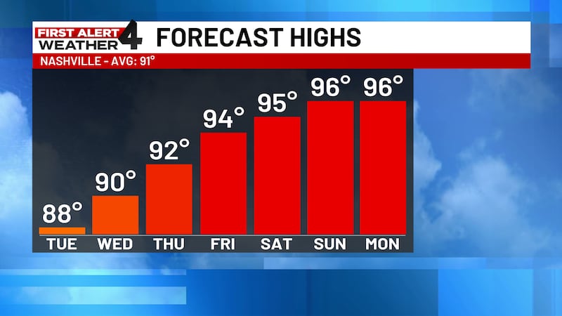
More heat, humidity and isolated pop-up showers and storms are expected Wednesday. High, 90.

For life-saving weather alerts, customized messages on conditions and forecasts, and videos detailing upcoming weather events, download the WSMV 4 First Alert Weather app for iPhone or Android. Have weather pictures or videos? Share them here.
WEDNESDAY’S FORECAST
Morning: Variably cloudy, warm, and muggy. Low, 72.
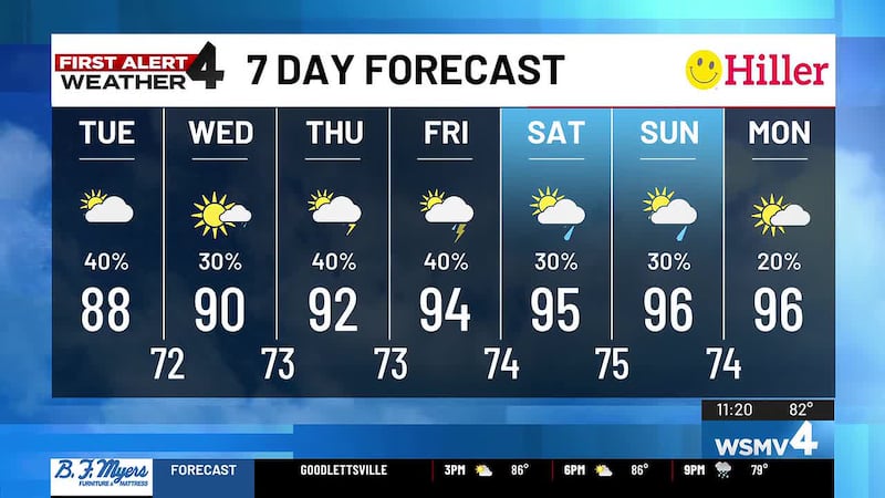
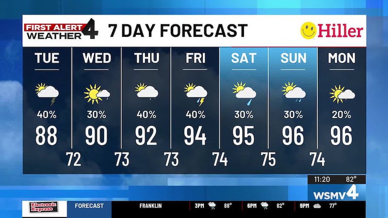
Afternoon: Partly cloudy with hit or miss showers and thunderstorms developing. Rain chance, 30%. High, 90.
Evening: Showers and thundershowers winding down.
THURSDAY’S FORECAST
Morning: Variably cloudy, warm, and muggy. Low, 73.
Afternoon: Partly cloudy with hit or miss showers and thunderstorms developing. Rain chance, 30%. High, 91.
Evening: Isolated areas of rain ending early.

FRIDAY & BEYOND
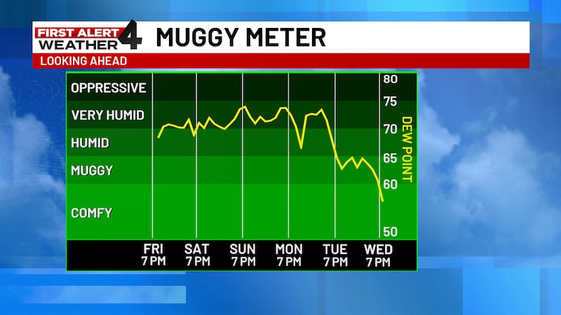
Little change from our hot and humid weather pattern is expected on Friday. Isolated showers and storms will form once again.
A few more showers and storms will be possible Saturday. Rain chance, 40%. Low, 74. High, 93.
Very few showers and storms are expected Sunday and Monday. Highs will be in the mid 90s, so it’ll be hotter.
Early Tuesday, our next cold front will pass by. Signs are that this front will be followed by at least a slight drop in humidity for Wednesday and Thursday of next week.