First Alert Forecast: Colder air takes moves in on Thursday
Dress warmly for the rest of the week and this weekend.
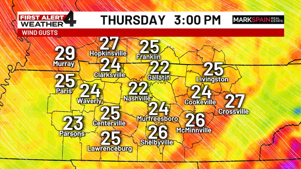
NASHVILLE, Tenn. (WSMV) - Breezy weather will stick around through Friday.
THE NEXT 24 HOURS
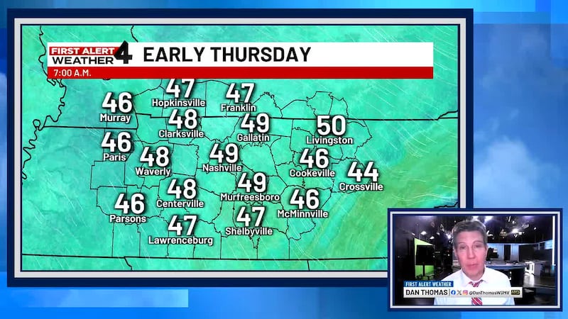
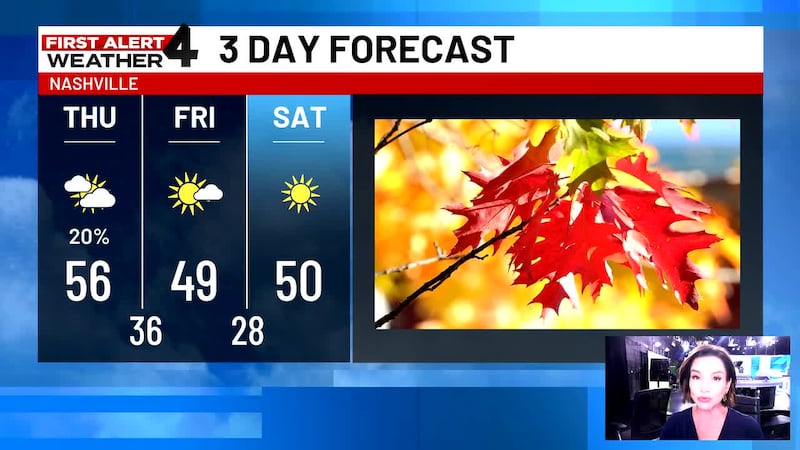
Colder weather will build in on Thursday. It’ll be mostly cloudy and breezy with isolated brief showers possible. Rain chance, 20%. Low, 49. High, 56.

For life-saving weather alerts, customized messages on conditions and forecasts, and videos detailing upcoming weather events, download the WSMV 4 First Alert Weather app for iPhone or Android. Have weather pictures or videos? Share them here.
THURSDAY’S FORECAST
Morning: Mostly cloudy, breezy, and cool. Low, 49.
Afternoon: Mostly cloudy and chilly. We’ll have a 20% chance for a passing shower or two. High, 56, but it’ll feel much cooler with that breeze.
Evening: Temperatures falling through the 40s.

FRIDAY’S FORECAST
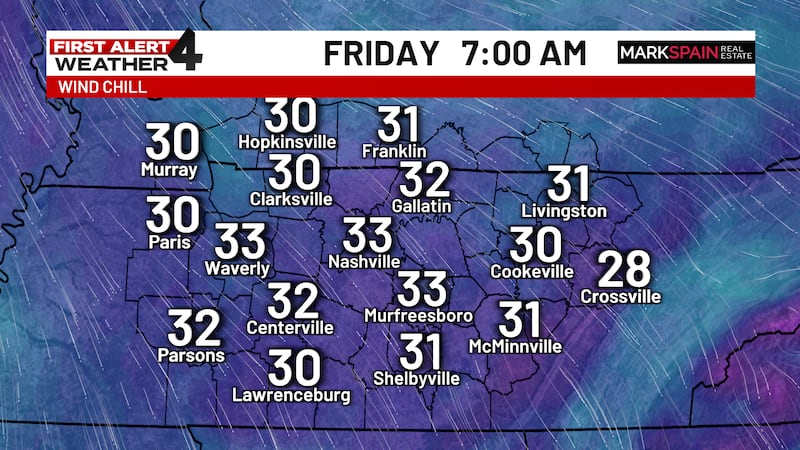
Morning: Partly sunny and cold. Low, 36. A light northwest breeze will redevelop.
Afternoon: Lots of clouds. Breezy and chilly. High, 49.
Evening: Cooling back into the 30s with a freeze developing late.
WEEKEND & BEYOND
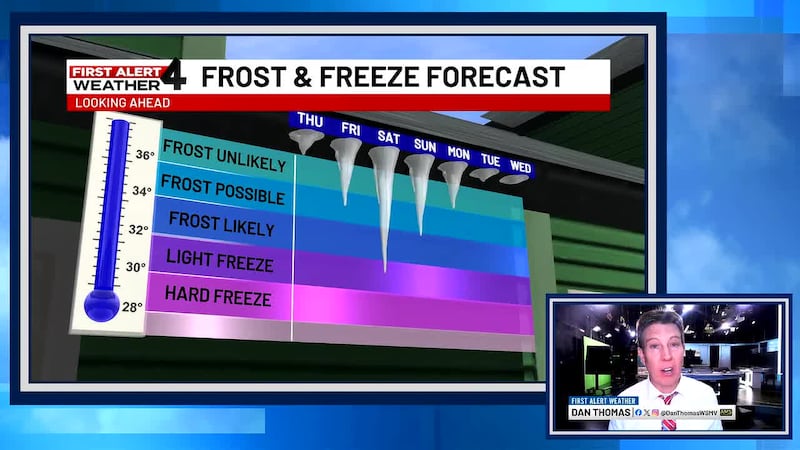
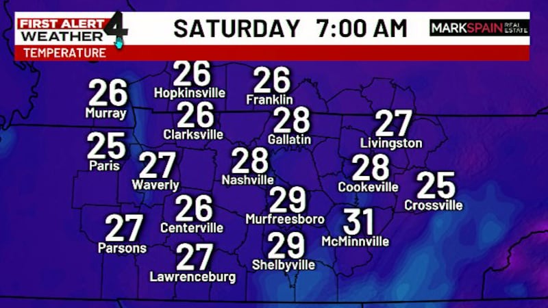
We’ll have our first freeze of the season this weekend. Temperatures will start in the upper 20s and lowermost 30s. Count on highs in the 50s under sunshine. Saturday will be the cooler of the two weekend days.
After another freezing start Monday, we’ll have variable clouds. Low, 32. High, 56.
Sunnier weather will follow on Tuesday and Wednesday. Expect lows in the 30s and highs in the upper 50s to around 60°.