First Alert Forecast: Blazing heat continues through the weekend
A Heat Advisory remains in effect for most of Middle Tennessee through 8 p.m. Saturday.
NASHVILLE, Tenn. (WSMV) - Blistering heat continues through the weekend; relief arrives next week in Middle Tennessee.
NEXT 24 HOURS:
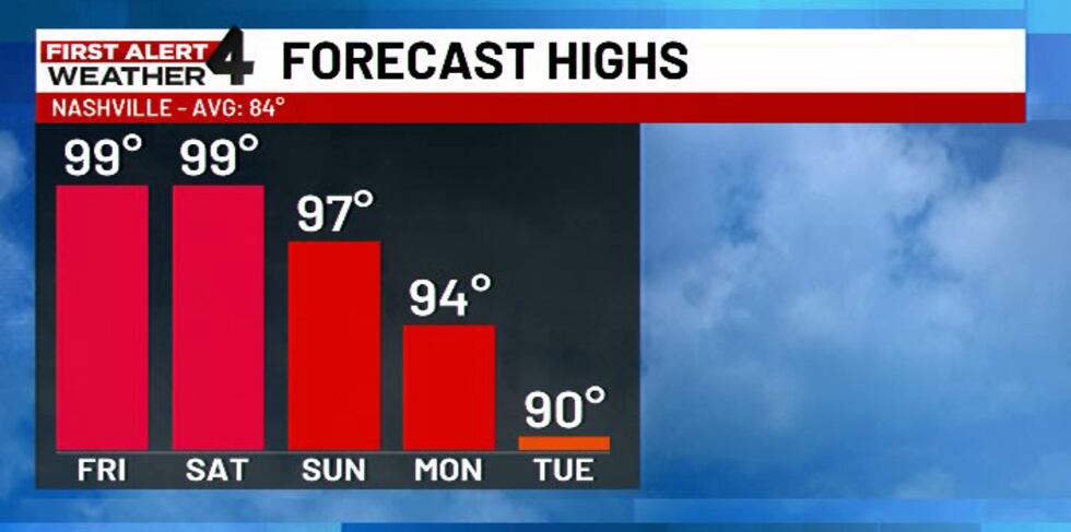
Dangerous heat will continue across Middle Tennessee through the end of the week. Afternoon temperatures will climb into the upper 90s to near 100°, with triple-digit heat index values possible.
A Heat Advisory remains in effect for most of Middle Tennessee through 8 p.m. Saturday. The National Weather Service may extend this advisory to include Sunday as only meager relief is expected by the end of the weekend.
Download the WSMV 4 First Alert Weather app for iPhone or Android, so you can stay informed on the go and in between newscasts. We share custom videos, plus you can choose to get messages from us on the latest conditions and forecasts.
TONIGHT’S FORECAST
Mostly clear and very warm overnight with lows generally in the 70s.
Friday
- Morning: Mostly sunny and warm with temperatures starting in the 70s.
- Afternoon: Sunny and dangerously hot with highs in the upper 90s to near 100°. The heat index could climb above 105° in some areas.
- Evening: Mostly clear to partly cloudy and warm, with lows falling into the 70s.
Saturday
- Morning: Mostly sunny and warm.
- Afternoon: Another hot day with highs in the upper 90s to near 100°. Most areas will remain dry. Some isolated showers and storms are possible East of I-65 during the afternoon hours.
- Evening: Mostly clear and warm with lows in the 70s.
Sunday
- Morning: Mostly sunny and warm.
- Afternoon: Blistering heat continues with highs in the mid-to-upper 90s. A stray shower or storm will be possible, especially toward the Cumberland Plateau.
- Evening: Mostly clear to partly cloudy and warm.
LOOKING AHEAD
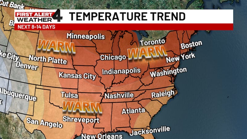
The heat will hang on through Monday, with highs still reaching the middle to upper 90s. Better chances for showers and thunderstorms arrive Tuesday into Wednesday as a cold front approaches. That should finally knock temperatures down a few degrees. Highs are expected to fall into the lower 90s Tuesday and upper 80s to lower 90s Wednesday. Even with the relief, temperatures are expected to remain above normal for the foreseeable future.