First Alert Forecast: Scattered storms through Saturday, hotter weather next week in the Midstate
On-and-off thunderstorms remain possible through Saturday afternoon before hotter, drier weather takes over next week.
NASHVILLE, Tenn. (WSMV) - On and off scattered thunderstorms will be present in the Midstate through Saturday afternoon.
NEXT 24 HOURS:
Isolated showers and storms will continue through late Thursday; drier conditions expected overnight.
Download the WSMV 4 First Alert Weather app for iPhone or Android, so you can stay informed on the go and in between newscasts. We share custom videos, plus you can choose to get messages from us on the latest conditions and forecasts
TONIGHT’S FORECAST
Partly cloudy and muggy with lows dipping into the lower 70s by daybreak.
Friday
- Morning: Partly cloudy with lows in the 60s and 70s.
- Afternoon: Scattered afternoon storms, highs near 90.
- Evening: Partly cloudy with a low chance of a lingering shower or storm. Lows will fall into the mid-to-upper 60s.
Saturday
- Morning: Isolated storms possible with temperatures in the 60s and 70s.
- Afternoon: Scattered afternoon storms, highs near 90.
- Evening: Partly cloudy and hot with spotty storms around early in the evening. Lows will fall into the mid-to-upper 60s.
Sunday
- Morning: Partly cloudy with lows in the 60s and 70s.
- Afternoon: Partly cloudy, highs in the lower to mid-90s.
- Evening: Partly cloudy with muggy lows in the 70s.
Next Week
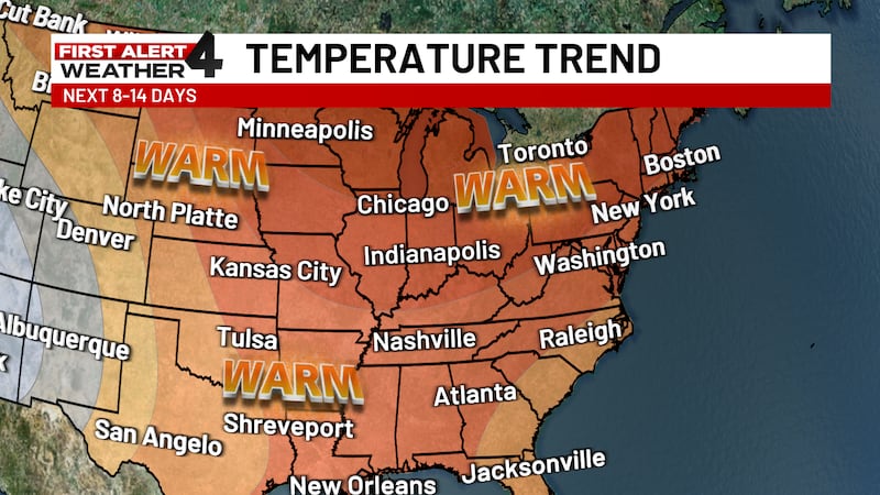
We’ll return to dry & hot conditions with temperatures in the mid-90s for the first half of the week. Showers and storms return late next week with slightly cooler temperatures.