First Alert Forecast: Not too shabby for trick-or-treaters in Middle Tennessee
Rain chances hold off until late Saturday in Middle Tennessee
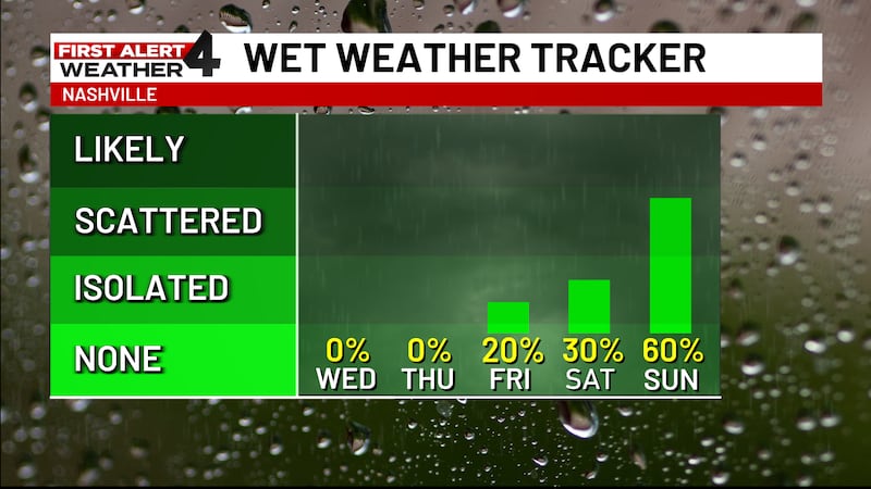
NASHVILLE, Tenn. (WSMV) - The latest forecast trends suggests that most of the rain holds off until late Saturday, which means that the weather should remain pretty dry for most of Saturday evening.
THE NEXT 24 HOURS
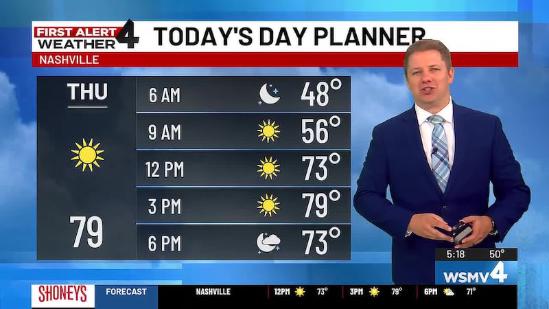
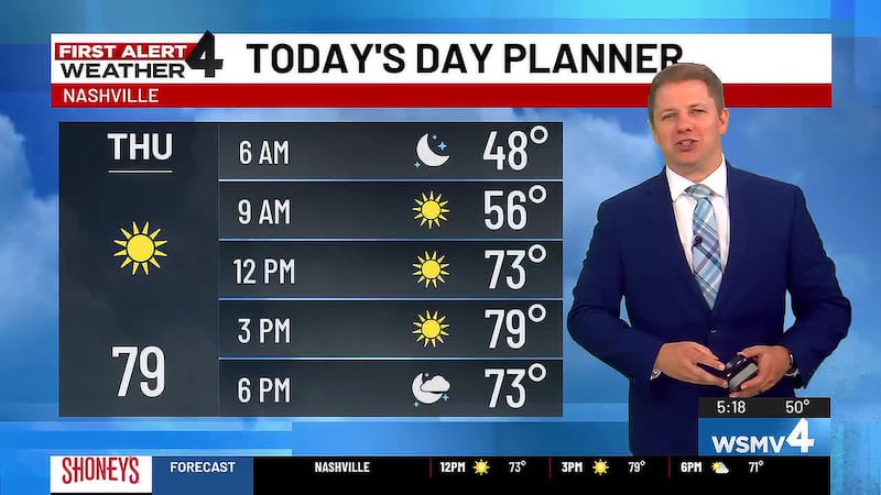
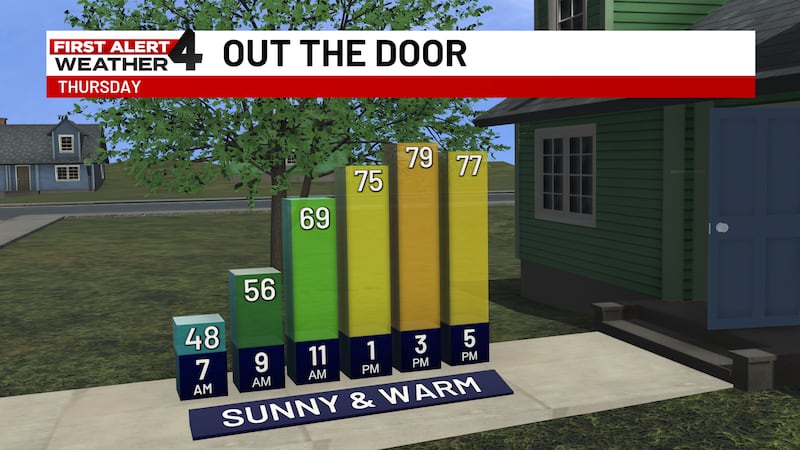
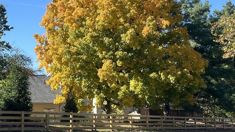
Plan for another sunny and warm fall day across the Midstate. Temperatures are pleasant, in the 70s. Friday’s forecast is also dry, with increasing clouds.
For life-saving weather alerts, customized messages on conditions and forecasts, and videos detailing upcoming weather events, download the WSMV 4 First Alert Weather app for iPhone or Android. Have weather pictures or videos? Share them here.

THURSDAY’S FORECAST
Afternoon: Pleasant and abundantly sunny. High temperature, 79.
Evening: Cooling into the 60s. Overnight lows settle into the 50s.
FRIDAY’S FORECAST
Morning: Cool and dry. Morning temperatures near 50. Clouds begin to roll in.
Afternoon: Clouds increase during the day. High temperature, 80.
Evening: Still dry, but mostly cloudy. Temperatures fall into the 60s.

WEEKEND FORECAST
Saturday: Mostly cloudy with a few sprinkles possible. Most of the day should be dry. There may be a light sprinkle during trick-or-treating. Otherwise, rain chances pick up late Saturday night.
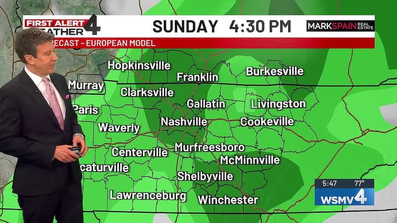
Sunday: Showers increase early Sunday, temperatures are seasonably cool Sunday afternoon.