Nashville’s rain story: Downpours lately but a yearlong drought is in the record books
NWS statistics show this is Nashville’s driest annual stretch of weather since the late 1980s.
What This Story Is About
- Nashville’s rainfall within the past twelve months is abnormally low.
Why It Matters
- It has been one of the driest 12-month stretches in Nashville since the late 1980s.
What Happens Next
- The big question is whether or not a consistent rainy pattern could show up for weeks and months to catch up.
For Context
- Despite the recent bursts of heavy rain, Nashville continues to be stuck in an abnormally dry stretch.
Catch Up
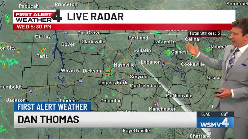
- Middle Tennessee and Southern Kentucky had its wettest seven-day stretch of the year last week.
NASHVILLE, Tenn. (WSMV) - If it feels like Nashville has been getting soaked lately, you’re not imagining it.
Recent weeks have brought some hefty rainmakers across Middle Tennessee — the kind that flood the gutters, knock down a few limbs and make you think, “Okay, we’re finally catching up.”
But when you zoom out and look at the full picture, the reality is stark: Despite the recent bursts of heavy rain, Nashville is still stuck in an abnormally dry stretch — and the numbers show it.
According to the National Weather Service, Nashville has experienced its driest July 1 through June 30 period since 1987-1988.
Here’s what the last 12 months add up to:
- Rainfall (past 12 months): 36.72″
- Normal rainfall: 50.51″
- Deficit: 13.79″ below normal
That deficit isn’t just a small miss — it’s a major shortfall, roughly the equivalent of several months of typical rainfall that simply didn’t show up.
‘But it’s been pouring!’ Why heavy rain doesn’t erase a long-term deficit
One of the trickiest things about drought and rainfall deficits is how misleading they can feel day-to-day.
A couple of stormy weeks can absolutely make the ground soggy and the creeks run high — but it doesn’t automatically refill the long-term rainfall “bank account.” In fact, when rain comes in short, intense bursts, a lot of it can run off quickly instead of soaking into the soil.
So yes, the recent rains have helped. They’ve improved conditions in spots and brought temporary relief.
But in the bigger, yearlong math? Nashville is still climbing out of a deep hole.
Eight straight months below normal — and it’s been a while since we were ‘ahead’
Even more telling: The last time Nashville recorded above-normal rainfall for a month was October of last year.
That means we’ve now logged 8 consecutive months of below-normal rainfall.
When you stack month after month of small deficits, the effect compounds — not just on lawns and gardens, but on streams, groundwater, agriculture and longer-term water supply trends.
What you might notice around town
Even if you don’t track rainfall totals, you may have noticed the fingerprints of this dry pattern:
- Lawns that briefly green up after storms, then fade fast
- More “cracked soil” days between rainy stretches
- Trees and shrubs showing stress earlier than usual
- Lower levels in smaller creeks and ponds, especially between rain events
And while Nashville isn’t in the kind of extreme, headline-grabbing drought seen out West, persistent deficits like this can quietly build impact over time.

What happens next?
The key question moving forward isn’t whether we’ll get a heavy rain — we can do that anytime in summer.
The question is whether we can string together a more consistent pattern of rain over weeks and months, enough to chip away at a 13.79″ deficit. That’s not something one storm system fixes.
For now, the takeaway is simple:
Recent downpours are real — but so is the drought signal in the long-term data.
And until Nashville starts stacking more months closer to (or above) normal, the city’s rainfall totals will remain unusually low for the year.
Copyright 2026 WSMV. All rights reserved.